A service from the
FAMILY HISTORY FEDERATION
www.familyhistoryfederation.com
www.familyhistorybooksonline.com
www.fhf-reallyuseful.com





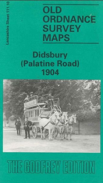
Godfrey Map Number 111.10. This map fits below the map of Barlow Moor West Didsbury 1905 (Code 3102). It shows the River Mersey winding up and down the map with open farm lands between. The housing is in the main town of Didsbury in the top right of the map. It includes: Kenworthy, Yew Tree Lane, small part of Northenden, Fielden Park, Marie Louise Gardens, Hayescroft, Palatine Road, etc.