A service from the
FAMILY HISTORY FEDERATION
www.familyhistoryfederation.com
www.familyhistorybooksonline.com
www.fhf-reallyuseful.com





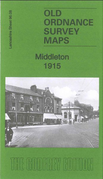
Godfrey Map Number 96.08. The map shows mainly populated areas of terraced houses from Jubilee Park on Long St. to Peach Bank St. and along Oldham Rd. to Middleton Junction , the remainder of the map shows open lands. It includes: St Leonard’s Church Cemetery and Old Board’s Head on Long St., Alkrington Garden Village, John Lee Fold, Mills Hill, Drummer Hill, Green Hill. There are several Cotton Mills including – Albany, Brookside, Lodge, Townley, Warwick, Tonge, Don, Spring Wood, Green Lane, Neva, Times, Baytree, Laurel. Also includes: St Michael’s Church Townley St,
Middelton Junction Railway Station, etc.